Description
What is PCB GPS Antenna Internal Passive Antenna?
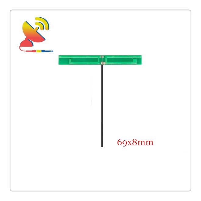
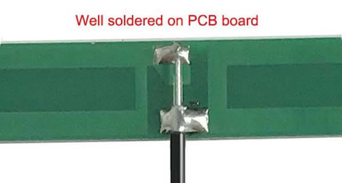
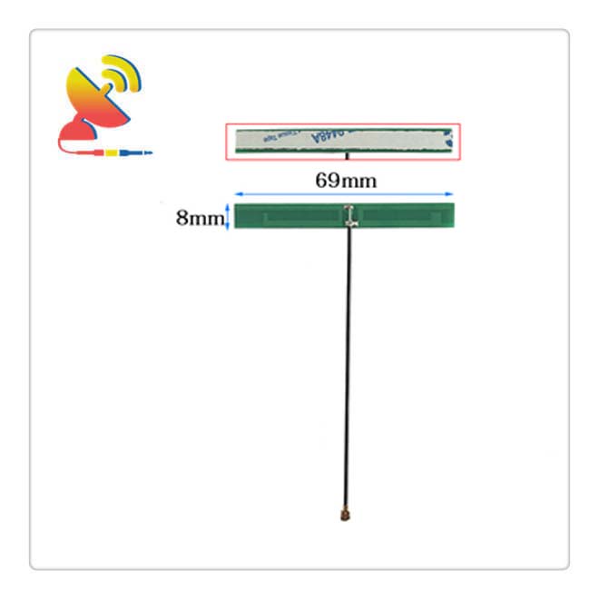
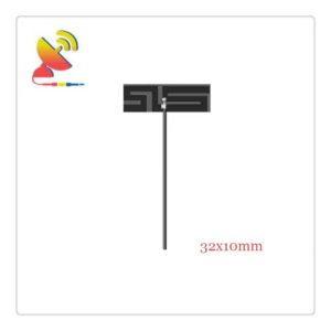
The PCB GPS antenna internal passive antenna CTRF-ANTENNA-PCB-1575-6908-IPEX is a 69x9mm size PCB trace board antenna passive GPS antenna built-in antenna 1575.42MHz antenna manufactured by C&T RF Antennas Inc for GPS tracking devices.
The PCB GPS Antenna Internal Passive Antenna is manufactured by C&T RF Antennas Inc, we provide the wireless antenna with other antenna radio frequencies such as 169MHz, 230MHz, 315MHz, 433MHz, 868MHz, 915MHz, Lora, VHF&UHF, NB-IoT, GSM, Wifi 2.4GHz, 5.8GHz, 2G 3G 4G LTE, GPS, 5G NR, UWB, etc.
C&T RF Antennas Inc. provides the GSM antenna with many antenna types such as Dipole Antennas, Whip Antennas, Marine Antennas, Router Antennas, MIMO Antennas, PCB Antennas, FPC Antennas, Spring Antennas, etc, for IoT & M2M industries.
Contact us for the PCB GPS Antenna Internal Passive Antenna datasheet, PCB GPS Antenna Internal Passive Antenna pricing, and inventory on the GPS PCB antenna.
Or other PCB GPS Antenna Internal Passive Antenna and active GPS antenna types.
PCB GPS Antenna Internal Passive Antenna Specifications
PCB GPS Antenna Internal Passive Antenna Electrical Specifications |
|
| RF Antenna Type | Passive GPS Antenna |
| Model | CTRF-ANTENNA-PCB-1575-6908-IPEX |
| Frequency | 1575.42 MHz |
| Gain | 5dBi |
| VSWR | ≤2.0 |
| Impedance | 50 Ω |
| Polarization | RHCP/Omni |
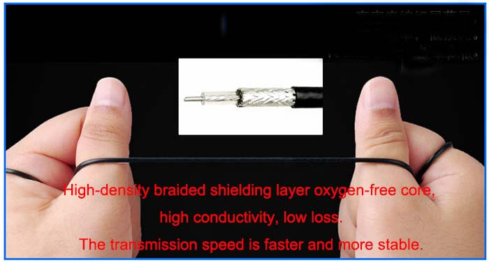
| Cable Type | RG 1.13 |
| Cable Length | 100mm |
| Connector | Ipex/U.FL |
| DC Ground | 20W |
PCB GPS Antenna Internal Passive Antenna Mechanical Specifications |
|
| FPC Board Dimension | 69x8mm |
| Weight | Approx. 8g |
| Material | PCB |
| Operation Temperature | -40˚C ~ +85˚C |
| Storage Temperature | -40˚C ~ +80˚C |
| Color | Green |
| Antenna Form | Passive |
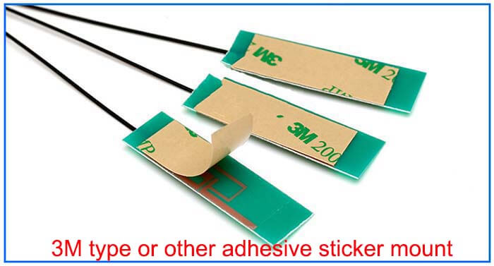
| Mounting | Screw/Sticker |
| Safety Emission and other | RoHS Compliant |
| Applications | GPS |
PCB GPS Antenna Internal Passive Antenna Features

The positioning principle and process of the GPS system can be briefly described as follows:
In a three-dimensional right-angle coordinate system, the position of any point can be determined by three coordinate data X, Y, and Z. In other words, as long as the X, Y, and Z coordinate data can be obtained, the position of any point in space can be determined.
In other words, as long as we can get X, Y, and Z coordinate data, we can know the position of any point in space.
If the distance between a point and other three points A, B, and C can be measured, and the coordinates of A, B, and C can be determined, a system of three equations can be established to solve the coordinate data of the unknown point, so as to get the exact location of the point.
GPS is According to this principle, a satellite network consisting of 24 satellites is established in space.
Through the rationalization of satellite orbit distribution, users can observe at least three satellites at any location on the Earth and can solve their own coordinates by measuring the distance to them.
How does the user measure the distance to the satellites?
The GPS method is to install a clock on the satellite and on the user machine and to include the time information at the time of transmission in the distance measurement signal sent by the satellite.
In this way, after receiving the ranging signal, the user machine can obtain the time difference between the sending time and the receiving time by comparing it with the time of its own clock and then multiplying it by the speed of light to get the distance from the satellite.
However, in practical applications, this approach still has shortcomings.
As the user machine is limited by space and energy, only the less accurate quartz clock can be used, so it is impossible to achieve complete synchronization with the satellite clock, so the measured time difference and the distance calculated from it will certainly have a large error.
In order to eliminate this error, the GPS distance measurement receives signals from four satellites at the same time so that the clock difference is also used as an unknown, and the coordinates together form a system of quadratic equations, which are solved together with the coordinates, thus ensuring a high positioning accuracy.

Reviews
There are no reviews yet.